Selected work · Case 001
Save Tunkwa Grasslands
Public land. Private ownership. Public pays. A community-response activation built where a 208 MW industrial project meets a working ranching landscape — and where the case was being decided quietly, in documents almost no one had read.
776 ha
Working grassland under assessment
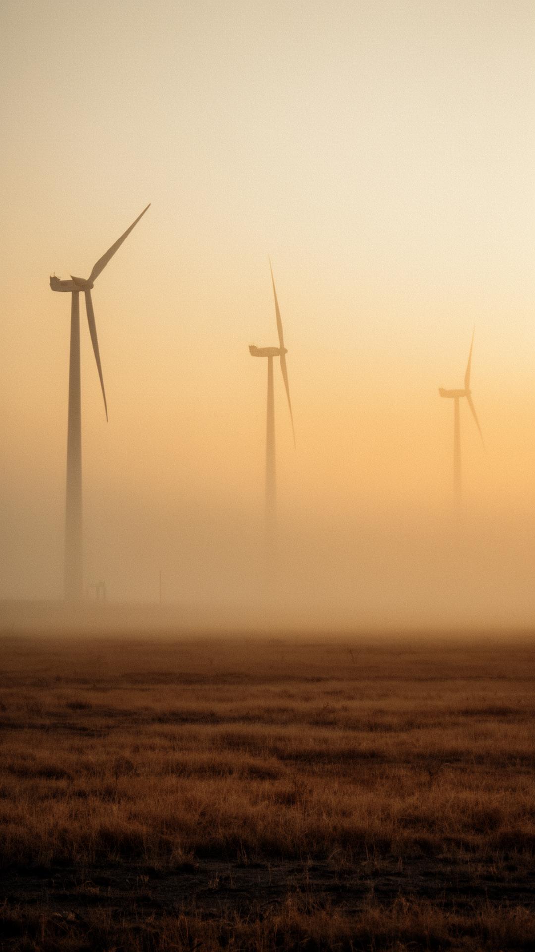
208 MW
Single development, two phases
25–40 yr
Footprint on public Crown land
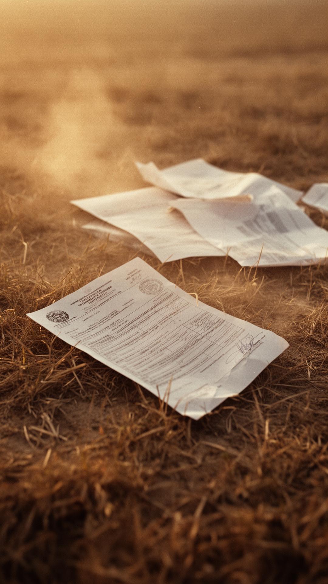
4,000 pg
Assessment file, distilled to one page
The brief
An industrial solar development was advancing through environmental assessment on roughly 776 hectares of Crown grassland — land actively used for grazing, hunting, riding, and recreation, and recovering from a recent wildfire. Presented as a clean-energy win, the proposal would fence and convert working public land for a generation.
The challenge was never to be against renewables. It was to make a slow, document-buried decision legible — and to do it before the window for public input quietly closed.
How we made it impossible to overlook.
01
The quiet audit
We read the full Initial Project Description line by line and mapped what the brochure language left out — where the panels actually land, which trails they sit on top of, and which water sources go unclassified. Facts first, framing second.
02
One page, every doorstep
A planning file built to run to thousands of pages became a single illustrated broadsheet. Plain numbers, real sightlines, and a clear deadline — delivered door-to-door before the consultation window closed.
03
A neutral place to stand
An independent, non-partisan campaign site that names what it is not: not government, not a utility, not corporate-funded. A research assistant lets anyone interrogate the same documents the proponents rely on.

What changed
- ↳
Cumulative-effects map showing multiple projects converging on one landscape — the part no single review process accounts for.
- ↳
Reframed the story from "green project" to land-use, jobs, and value per hectare — pro-responsible development, not anti-development.
- ↳
Mobilised local volunteers around flyer delivery, sign placement, and land-use documentation before approvals could advance.
Your situation won't fit a case study. That's exactly why it's worth a conversation.